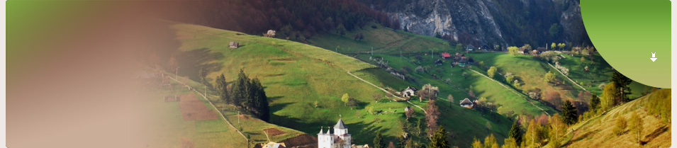
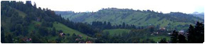
Bucegi Natural Park
Bucegi Massif, having a surface of approximately 300 square kilometers, is located on the East extremity of Meridional Carpatians, expanding between Prahova Valley on the East and Bran Corridor on the West; the massif suddenly climbs down to Barsa Depression and quite easily to the South, up to the contact with the Subcarpathians. Having a large structural and morphological complexity, the massif appears like a natural citadel, with its inside suspended on 1600-2500 meters, sustained by strong slopes.
From Dorului Spring and Ialomita River, extends a high plateau, covered with alpine grasslands and mountain pines. The approximately 36 square kilometers ( 12 kilometers length and 3 width ), form a minded plateau from North to South, that goes down from the 2350 meters, in Babele area, to 1700 meters from Oboarele to Dichiu. The main valleys: Ialomita and Dorului Spring, frame the plateau interrupted from place to place by the peaks: Babele- 2294 meters, Cocora- 2191 meters, Laptici- 1872 meters, Blana-1875 meters, Oboarele- 1707 meters, Dichiu- 1713 meters. Towards South the plateau continues with smaller peaks, going down above Moroieni Village, in Plaiul Domnesc.
West of Ialomita Valley extends the other main arm of the massif- the one coming off Omu Peak, extended at the beginning, to Doamnele-2402 meters and Batrana- 2181 meters, then curving in Grohotisu- 2168 meters, Strungile Mari- 2089 meters, Saua Strunga- 1909 meters, Tataru- 1998 meters, Deleanu- 1904 meters, Lucacila- 1895 meters, Zanoaga- 1788 meters.
Besides the two main arms, also from Omu Peak area is coming off short and sharp crests. Towards East, begins Moraru Mountain, to North- West, Bucsoiu-2492 meters, that raises its peaks forming a part of the watersheds, and to North Padina Crucii separates Malaiesti and Tiganesti Glacial Depressions. Ialomita Valley gathers its waters from Batrana, Tataru, Zanoaga, Orzea Creeks.
.
|
Other touristic objectives |
Bran Castle - Bran Castle is a historical and architectural monument,...
Read more
|
Rasnov Citadel - In the upper side of Barsa land, about 15 kilometers...
Read more
|
Dambovicioara Cave - Located in the South side of Piatra Craiului Mountain...
Read more
|
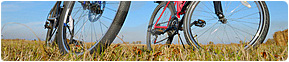
Bike routings and Bran hikings - Location: North-West side of Bucegi Massif...
Read more
|
Bran Moeciu Map - Here is a map of Bran area.We hope it will be useful...
Read more
|
Zanoaga Ski Resort - For the ones passionate about winter sports, at a distance...
Read more
|
Bucegi Natural Park - Bucegi Massif, having a surface of approximately 300 square kilometers,...
Read more
|
Piatra Craiului Natural Park - In the West and North-West of Rucar-Bran Corridor you can see...
Read more
|
Tampa Natural Reservation - Tampa is located at approximate 400 meters above Brasov City...
Read more
|
|